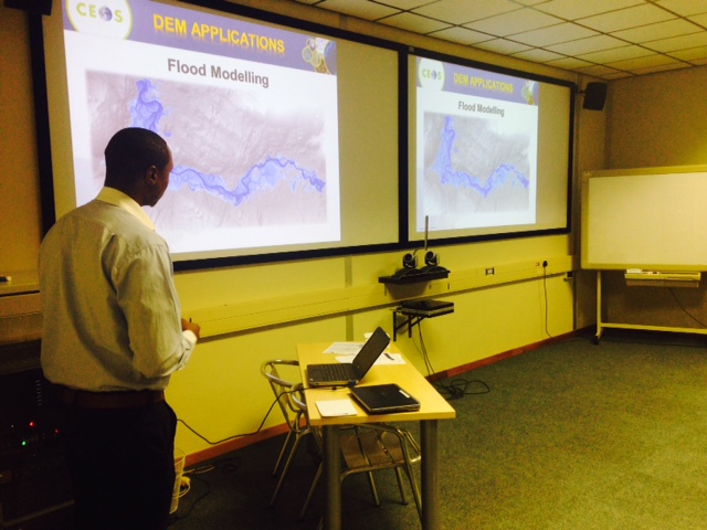
Training on Flood Modeling at a Previous SRTM-2 Workshop.
People living in South and Southeast Asia face many critical issues and challenges as a result of changes in the Earth’s topography, including but not limited to:
- water flow,
- heavy rainfall,
- river plain flooding,
- coastal storm surges,
- agricultural stresses, and
- public health challenges.
Satellite Earth observation data in the form of Digital Elevation Models (DEM) of the Earth’s surface are extremely valuable for helping regional governments address and even get ahead of many of these issues, but using them requires both data access and user training.
On September 19-22, 2016, our Working Group on Capacity Building & Data Democracy will collaborate with the United States Government (NASA, USAID, NOAA, USGS), the Secure World Foundation (SWF), and ICIMOD* to help address these needs during a four-day regional training in Kathmandu, Nepal.
The training will be delivered by subject matter experts from several organizations:
- SERVIR – helps developing countries use information provided by Earth observation satellites and geospatial technologies to manage climate risks and land use
- ICIMOD – the International Centre for Integrated Mountain Development – regional intergovernmental learning and knowledge sharing centre that helps mountain people understand and adapt to the impacts of globalization and climate change on mountain ecosystems
- RCMRD – Regional Centre for Mapping of Resources for Development – based in Nairobi, Kenya, promotes sustainable development in their African member States (and beyond) through the generation, application, and dissemination of geo-information and information/communication technologies, products, and services
- University of Washington, Seattle
Workshop participants from relevant Government Ministries and agencies in Hindu Kush Himalaya (HKH) and Mekong regional countries will learn how to use free and publicly available, high resolution DEM datasets from the 2nd Shuttle Radar Topography Mission (SRTM-2) for applications in various thematic areas.Upon completion of the training, workshop participants will have a better understanding of how to:
- Describe the availability, applications, and limitations of satellite DEMs at varying spatial scales in different thematic areas,
- Use DEM data for delineation of river basins, flood inundation mapping, and hydrological modeling, and
- Understand the accuracies of DEM-derived products at various spatial scales.
This workshop builds previous SRTM-2 training workshops held in Nairobi, Kenya (2013), Pretoria, South Africa (2015), and Puebla, Mexico (2015).