Land cover and change data are essential for national GHG inventories, estimating activity data and to global AFOLU modelling and assessments.
Several space agencies and programs are producing relevant data and products with different characteristics and for various purposes. These include the input data for national GHG inventories for activity data estimation following the IPCC Good Practice Guidance; for improved global AFOLU and modelling assessments using long-term harmonized land cover change data, and for enhancing consistency and comparability of national GHG inventories and global GHG estimates for the UNFCCC Global Stocktake.
In support of Global Stocktake activities, four land cover products are presented. The land cover products vary from one another in terms of the time period they represent, the spatial resolution, the frequency of observations, and the thematic classes used to define land cover. Thus the choice of land cover data used to inform greenhouse gas emission analysis for AFOLU depends on user needs, such as the scale of analysis (local to global), the type of approach used (i.e., stock change versus gain-loss), the Tier requirements, and other factors.
The Worldcover dataset is characterized by having the highest-spatial resolution available globally (10 m) and can contribute to detailed land cover and landscape studies and is currently available for the year 2020. The Copernicus Land Cover dataset is available globally at 100-m resolution, from 2015-2019, and is supported by the Copernicus Land Monitoring Service and suitable for regional AFOLU analyses. The ESA CCI-LC provides 300-m resolution information on annual land cover from 1992-onwards, developed as part of the Copernicus Climate Service to support climate and Earth system modeling needs. The HILDA+ dataset is available at 1-km resolution, annually from 1960-2020, and combines FAO statistics with multiple remote sensing sources of data to provide global AFOLU land cover change information.
Detailed information is provided in the following links describing the methodologies used for each land cover product, their uncertainties, applications, plans for continuity, and data access.
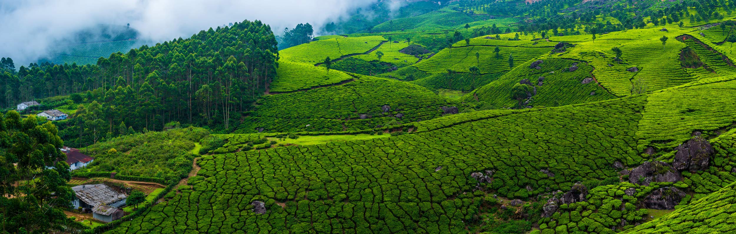
WorldCover
WorldCover (2020/2021, 10 metre resolution)
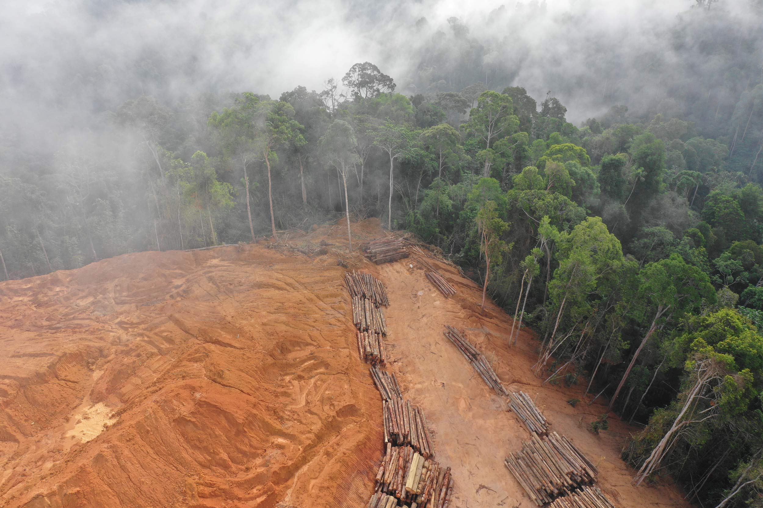
CCI
CCI/C3S annual 1992 onwards (300 m resolution)
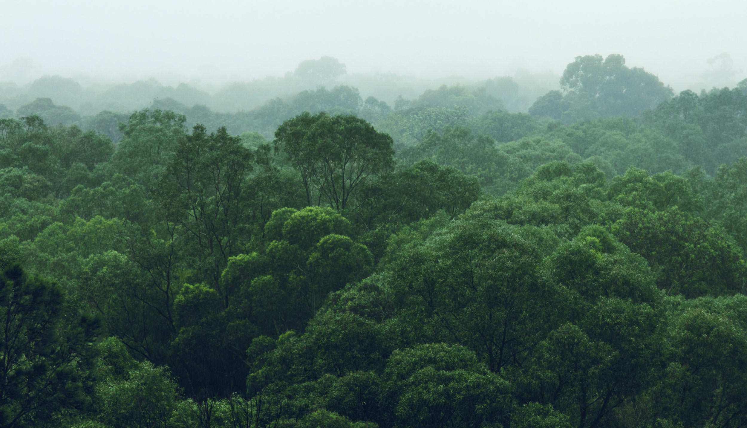
HILDA+
HILDA+ 1960-2019 global, annual land cover change harmonized with FAO statistics.
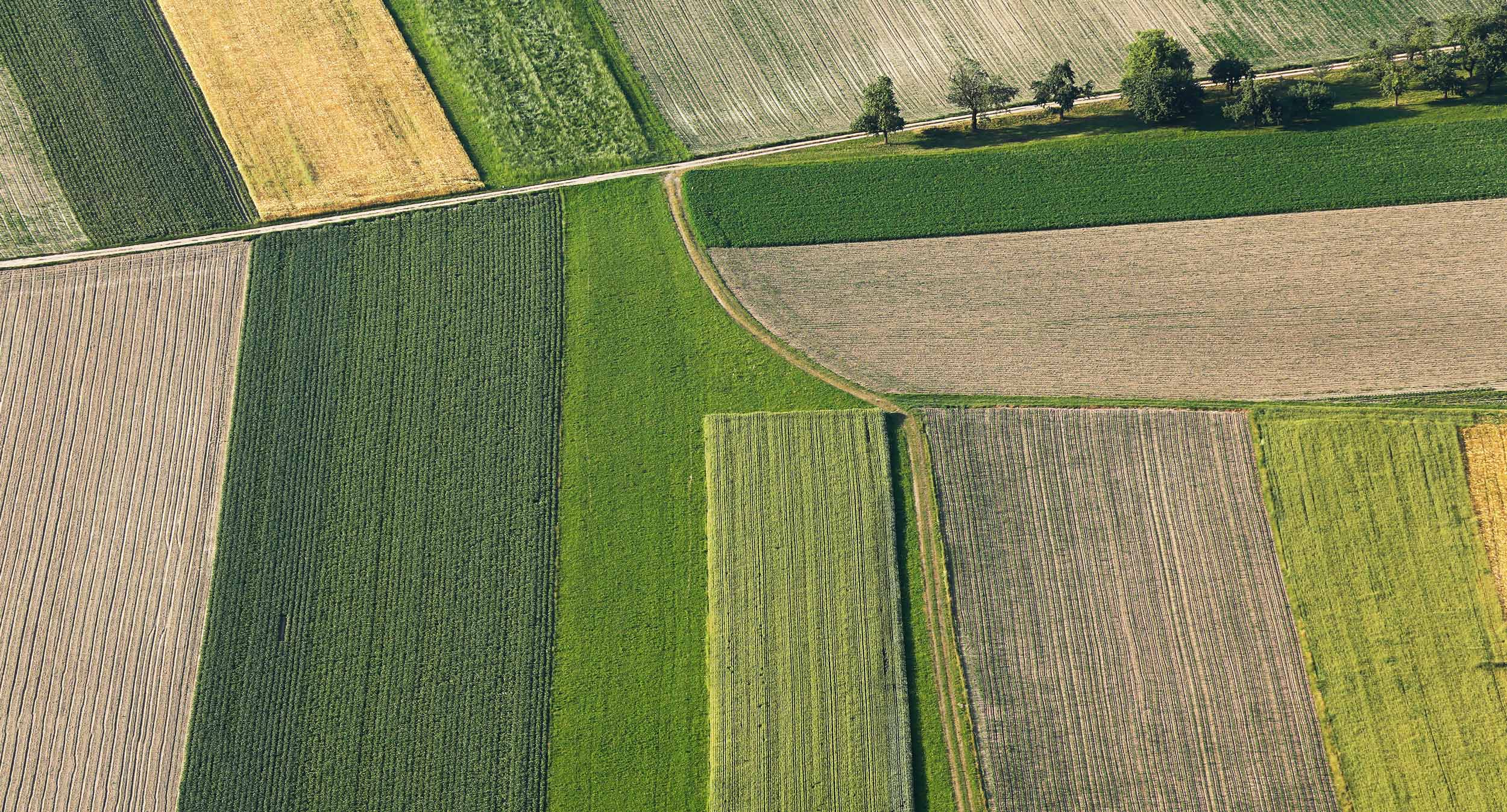
Copernicus
Copernicus annual global land cover service (2015-onwards, 100 m resolution)