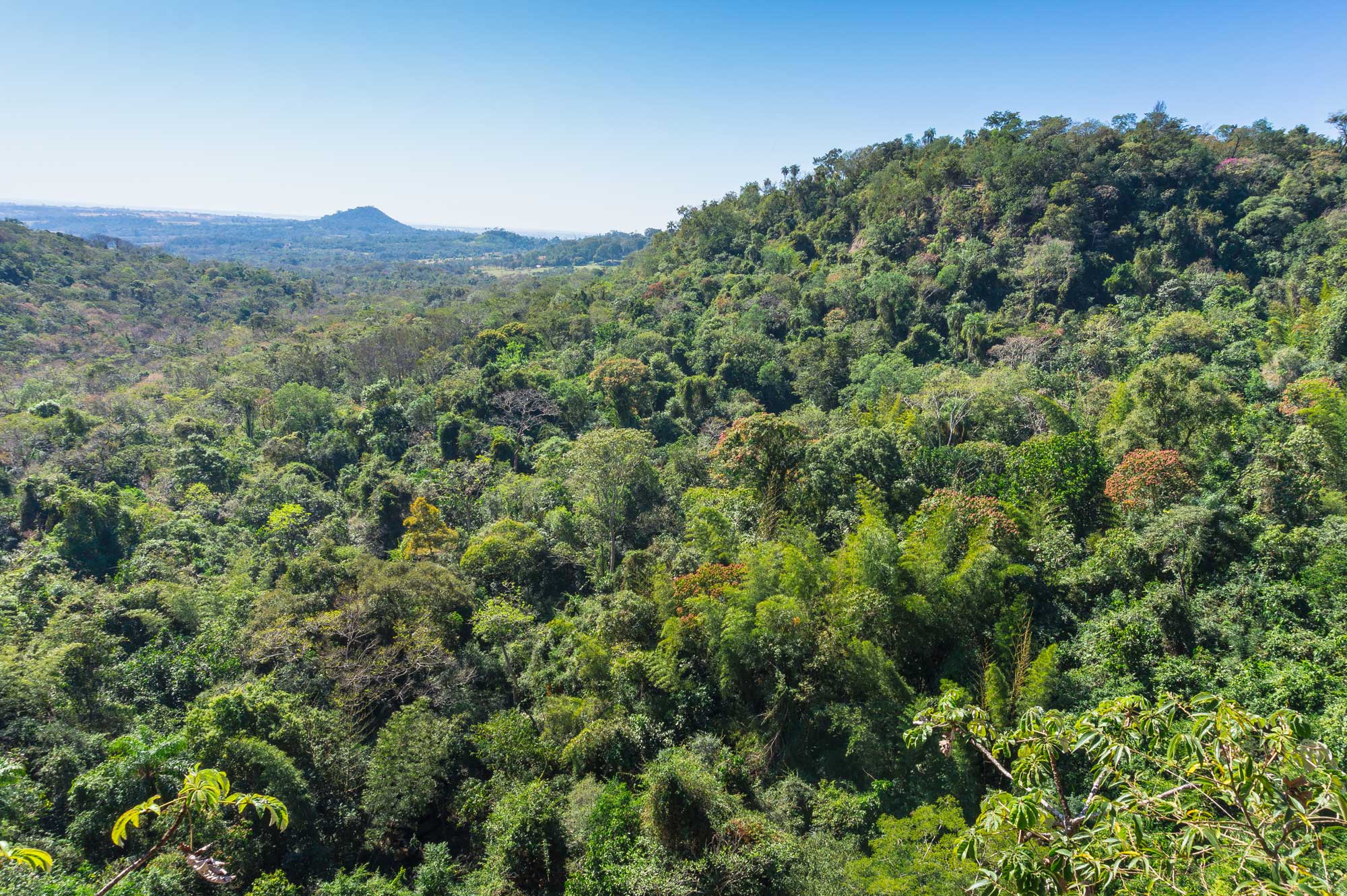
The US Forest Service and INFONA (National Forest Institute) developed a pilot methodology in Paraguay that ingests remote sensing and forest inventory data into a model to estimate aboveground forest biomass. The model uses field measurements of biomass from the Paraguayan NFI, lidar satellite data from the GEDI mission, the GLAD Landsat canopy tree cover dataset, and forest strata information to predict biomass.
