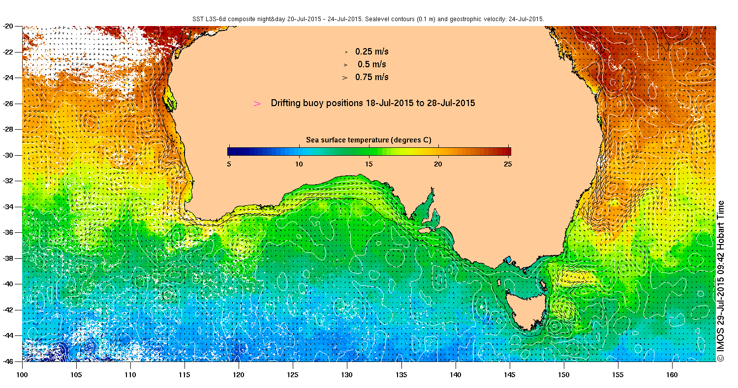
 Earth observation satellites can provide real-time, global, spatially and temporally high-resolution measurements of key ocean variables such as:
- ocean colour,
- sea level height, and
- sea surface temperature,
which are widely used across a range of scientific and operational applications.
Because navigating the wide range of available products and services can be confusing, our Sea Surface Temperature (SST) Virtual Constellation worked jointly with
- the Australian Bureau of Meteorology,
- the Group for High Resolution Sea Surface Temperature (GHRSST) Project Office, and
- the Integrated Marine Observing System (IMOS)
to put together an opportunity for users to meet with and provide feedback to the data providers: a three-day Satellite Oceanography User Workshop focused on satellite-derived products of key oceanographic variables.
The Workshop Objectives were to:
- present and discuss the provision of products and services supporting satellite-based ocean products
- provide a forum for users to present and discuss their experiences and requirements for satellite based ocean products
- work through practical examples of particular interest to workshop participants
And best of all, this workshop was open to anyone using satellite-based ocean products covering altimetry, ocean colour and sea surface temperature.
Just in case you couldn’t make it, our Working Group on Capacity Building & Data Democracy (WGCapD) worked with workshop organizers to capture workshop presentations & discussion on video. Please feel free to access these resources at your leisure.
Workshop Agenda, Presentations & Final Report
Workshop Videos
(Authors’ Names Shown Below, Not Presenters’ Names)
Providers of Satellite Ocean Products and Services – Overview
- Welcome & Logistics (Beggs)
- Opening Address – Bureau of Meteorology’s Requirements for Satellite Ocean Products (Barrell)
- Australia’s Integrated Marine Observing System (IMOS) & its Role in Satellite Oceanography (King)
- Development of Satellite Ocean Products by CMA (Corlett
- Explaining the Marine Satellite Data Services at EUMETSAT (Bonekamp)
- An Overview of GHRSST Products and Services (Corlett)
Satellite SST Products and Validation
- Australian GHRSST Products and Verification (Beggs)
- NOAA JPSS and Himawari-8 SST Products (Ignatov)
- Himawari-8 SST by JAXA (Kurihara)
- Himawari-8 SST from the Bureau of Meteorology (Griffin)
- NOAA’s Geo-Polar Blended SST Analysis (Harris)
- FY-3C/VIRR SST Algorithm and Cal/Val Activities at NSMC/CMA (Zhang)
Ocean Colour Products and Services
- IMOS Ocean Colour Products (King)
- Phytoplankton Functional Types from Satellite (Hardman)
- Bureau of Meteorology Marine Water Quality Dashboard and ReefTemp NextGen (Johnson)
- Southern Ocean Satellite Data Needs (Johnson)
Altimetry Products and Services
Ocean Winds and Waves
- Satellite Observations of Ocean Winds and Waves (Babanin)
- Satellite data for Wave Model Validation (Zieger)
Applications of Ocean Remote Sensing Products
- Remote Sensing at Work in Australia’s Ocean Territories (Griffin)
- Data Assimilation of Satellite Observations in OceanMAPS (Sandry)
- Operational Applications of SST Analyses at the Bureau of Meteorology (Qui)
- Long Term Variability on Campbell Plateau, Changes in SST and SSH (Forcen)
- Upper Ocean Statistics from Super-Resolved Sea-Surface Temperature Imagery (Keating)
- Use of IMOS-GHRSST Products to Quantify Diurnal Warming Over the Tropical Warm Pool (Zhang)
- Testing SST Capability to Capture Thermal Features and Diurnal Warming on the Great Barrier Reef (Zhu)
- Applications of Ocean Colour to Biophysical Oceanography (Weeks)
- Water Quality and River Plume Monitoring in the Great Barrier Reef: An Overview of Methods Based on Ocean Colour Satellite Data (Devlin)
- Application of the Geostationary Ocean Colour Imager (GOCI) to Mapping the Seasonal and Diurnal Dynamics of the Surface Suspended Matter in a Macro-Tidal Estuary (Cheng)
- Investigating Ocean Life at the Mesoscale: From Phytoplankton to Top Predators (Penna)
- Observational Inputs to the Numerical Models of Tsunamis: A Naïve Wish List (Allen)
Satellite Ocean Data – Portals and Tools
- Extracting and Sub-setting SRS Datasets from the IMOS Ocean Portal (Besnard)
- Ocean Remote Sensing Visualisation and Manipulation Tools (Corlett)
- Remote-sensed Oceanography Data at the Australian Antarctic Division and Antarctic Climate and Ecosystems CRC (Sumner)
- IMOS OceanCurrent Web Site (Cahill)
- Metadata in Satellite Ocean Products (Majewski)
- Providing satellite ocean services to Pacific Island Countries using the COSPPac Ocean Portal (Smith)
- NOAA SST Quality Monitor (SQUAM) (Dash)