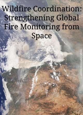
Wildfires are an essential natural process, but they are also a growing global challenge threatening ecosystems, communities, infrastructure and local economies. Earth observation (EO) satellites provide critical information for both science and applications across the fire management cycle: supporting planning and preparedness before fires occur, monitoring and response during fire events, and post-fire assessment and […]
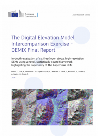
Global digital elevation models (DEMs) have become routine operational inputs across mapping, environmental monitoring, modelling and Earth-observation workflows. Their broad coverage and global availability have made them data that many practitioners simply take for granted. But knowledge of the terrain and topography of Earth’s surface is fundamental for monitoring and understanding terrestrial ecosystems and the […]
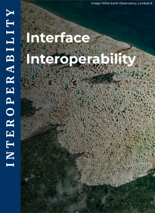
The CEOS Interoperability Handbook provides a shared framework for achieving interoperability across global Earth observation (EO) systems. It describes five core factors of interoperability: Vocabulary, Architecture, Quality, Interface and Policy, which together enable the discovery, access, visualisation, and processing of data from multiple sources. Within this framework, the Interface factor serves as the practical execution […]
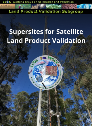
The validation of satellite-based land products relies heavily on in-situ or fiducial reference measurements (FRMs) collected over an ensemble of globally representative sites, providing consistent, high quality and traceable reference data. These sites must ensure adequate representation of different land cover and ecoclimatic conditions to enable unbiased satellite data validation at global scale. Evolving validation […]
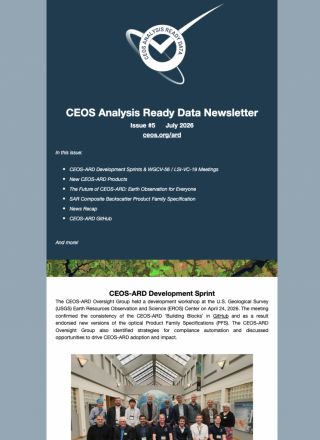
Discover the latest CEOS activities, priorities and opportunities. Didn’t receive it in your inbox? Subscribe to make sure you don’t miss future editions. https://ceos-quarterly-revisit.beehiiv.com/p/ceos-communications-q2-2026-revisit
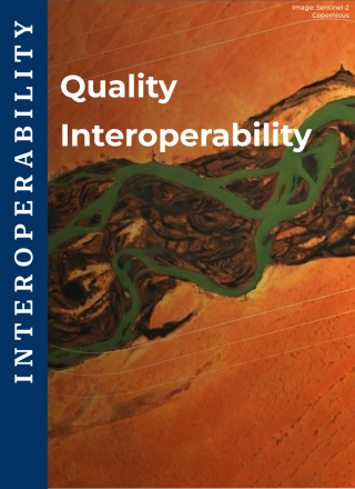
The CEOS Interoperability Handbook identifies five core factors required to enable effective interoperability of Earth observation (EO) systems and datasets: Vocabulary, Architecture, Quality, Interface, and Policy. The framework recognises that interoperability is not only about exchanging data, but also about maintaining confidence in the quality and meaning of that data when it is shared between […]
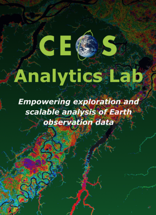
The CEOS Analytics Lab (CAL) is a cloud-based platform developed through a collaboration between the CEOS Systems Engineering Office (SEO), CSIRO, and the Universidad Adolfo Ibáñez’s Centre for Earth and Space. The platform’s goal is to address the growing challenges of processing increasingly large and complex Earth observation datasets by offering a collaborative, scalable environment […]