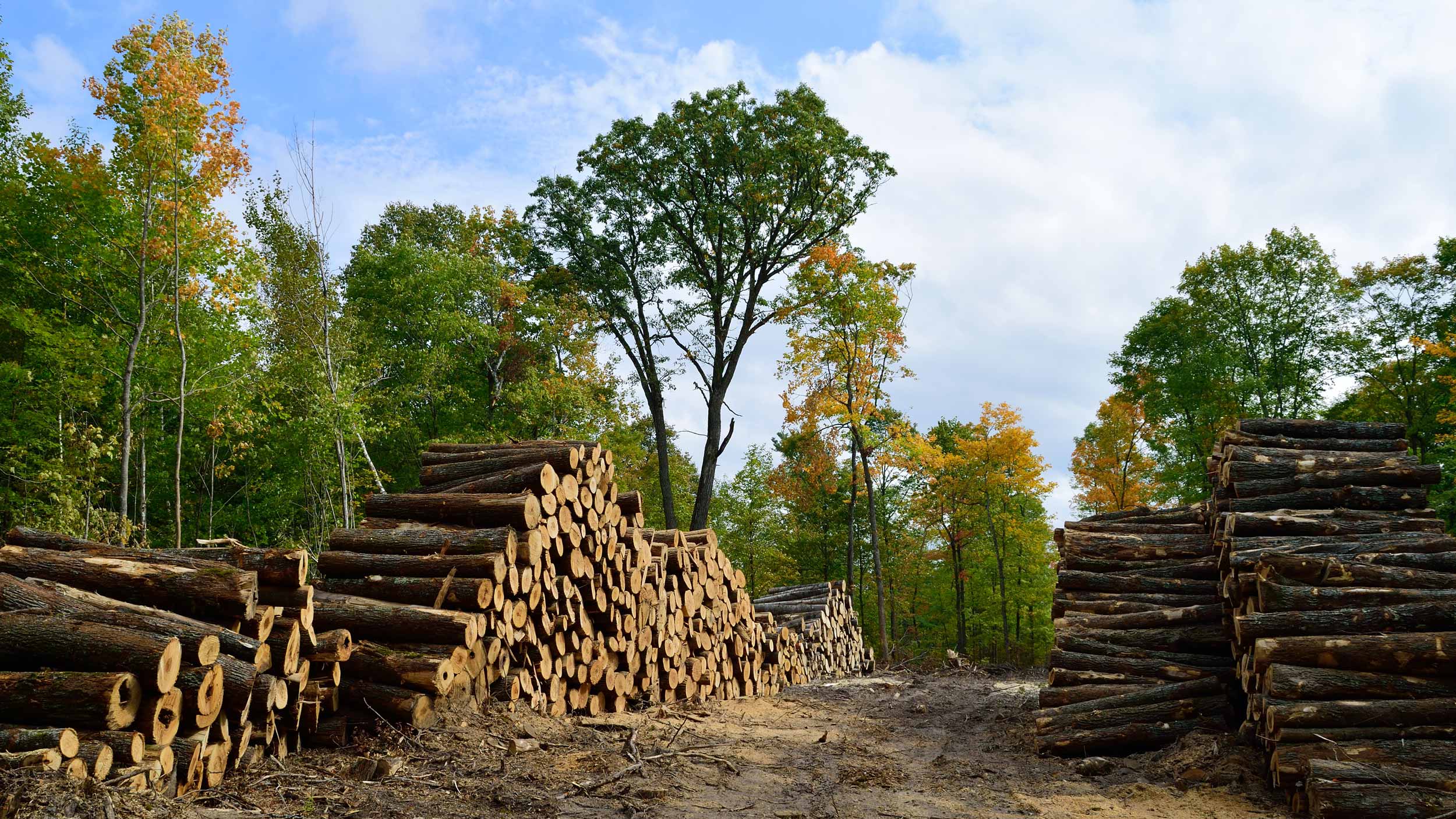
Mapping aboveground biomass has been a priority for several new and upcoming space agency missions, including GEDI, ICESat-2, BIOMASS, ALOS-4 and NISAR. One of the primary applications of these mission biomass products should be uptake for forest management toward climate mitigation, as current forest carbon reporting typically depends on either National Forest Inventories (NFIs) or sparse forest plot data. While using satellite biomass products seems a natural progression for forest carbon stock reporting, the availability of multiple satellite products may confuse policy users and a lack of consistent and transparent product inter-comparison and validation jeopardizes the successful uptake of any biomass product by the policy community. This is a pressing issue as the world prepares for the United Nations Framework Convention on Climate Change (UNFCCC)’s first ‘Global Stocktake’ (GST) which will take place in 2023 with planned repeat every five years (2023, 2028, 2032 and onwards). If biomass products are not included in the 2023 GST, it may not be possible to include them in future years as the 2023 GST will establish baseline methods. To be included in the GST, a single recommended biomass product is encouraged rather than several products that may not agree and may lead to confusion and reduced uptake.
At present, there are ongoing projects producing continental to global biomass maps: CCI-Biomass, 100m global for 2010, 2017, 2018, 2020; 100 m JPL product for 2020, and time series of biomass at 10-km from 2000-2020, NASA GEDI 1-km 2020 product, NASA ICESat-2 boreal 30-m 2020 product, and NCEO Africa 100-m time-series product from 2007 to 2017. There are also a series of biomass change/flux products becoming available (i.e. Harris et al., 2021).
These biomass products represent the next generation of maps for improved global and regional estimations. They have been developed using different training data, statistical approaches, and satellite input datasets, and therefore are expected to disagree in many ecosystems. To use the best available product for each ecosystem and/or application, transparent and global-scale intercomparison and validation of these products is highly desirable. These are key steps toward a dedicated contribution to policy processes like the UNFCCC GST. The EO biomass community is undertaking a global biomass product harmonization activity in an attempt to understand and communicate discrepancies between products, and produce a single estimate of biomass and uncertainty at a policy relevant, jurisdictional-level scale. This effort builds upon the
CEOS Biomass Cal/Val Protocol and reference data and tools available and used by CEOS partners. Key global biomass production and validation expert teams are engaged in this effort with a shared goal of production of a harmonized biomass product for use in the UNFCCC GST process, with anticipated release in 2022.