Congratulations to CEOS Agencies NOAA, EUMETSAT, NASA, and CNES on the successful launch of the Jason-3 satellite on January 17, 2016.
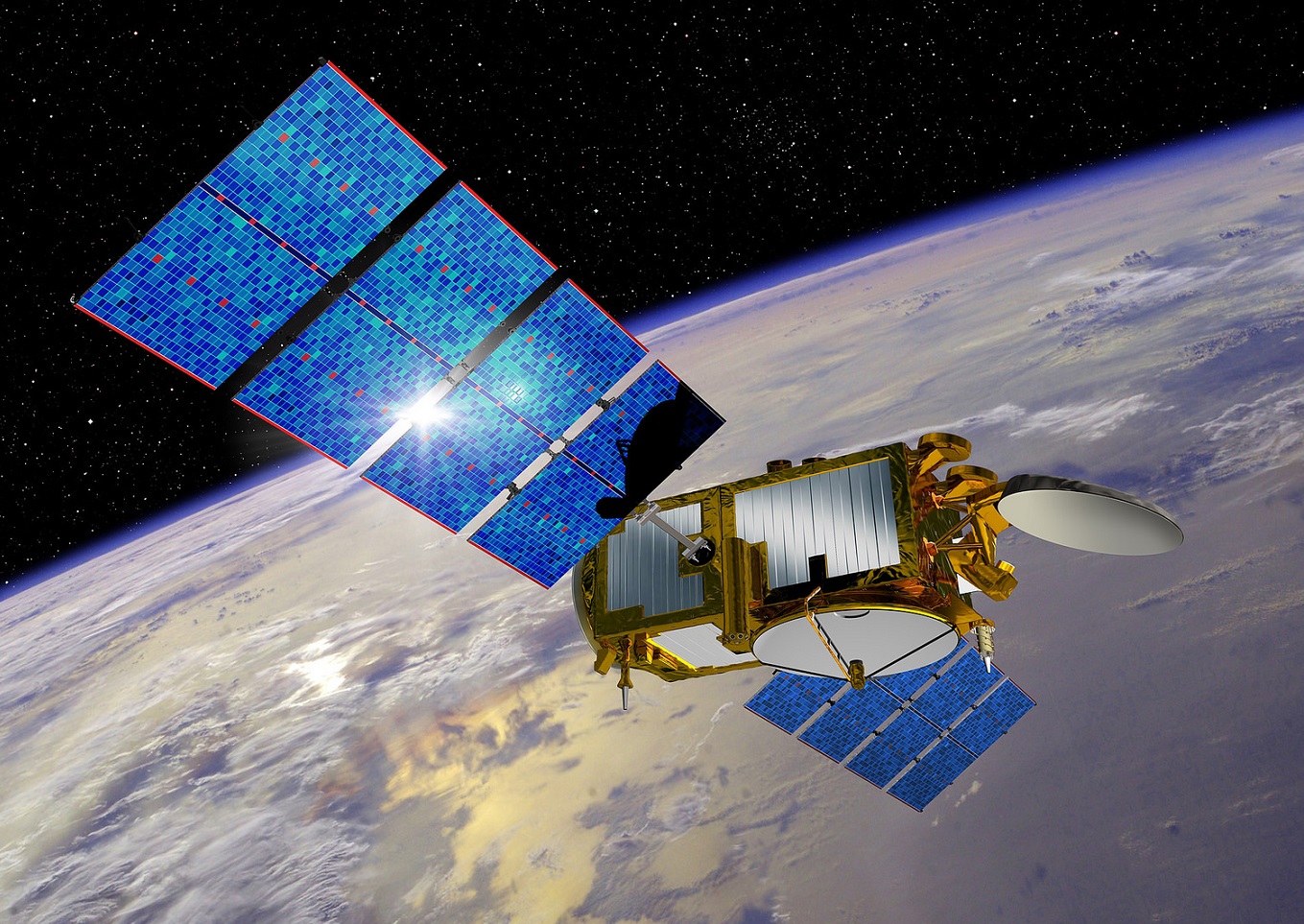
Jason-3 Image from http://www.nasa.gov/social-jason3
This NASA JPL article on Ocean Surface Topography from Space provides excellent background information about and describes the many applications of the data Jason-3 instruments will supply:
Jason-3 is the fourth mission in U.S.-European series of satellite missions that measure the height of the ocean surface. Launched on January 17, 2016, the mission will extend the time series of ocean surface topography measurements (the hills and valleys of the ocean surface) begun by the TOPEX/Poseidon satellite mission in 1992 and continuing through the Jason-1 (launched in 2001) and the currently operating OSTM/Jason-2 (launched in 2008) missions. These measurements provide scientists with critical information about circulation patterns in the ocean and about both global and regional changes in sea level and the climate implications of a warming world.
The primary instrument on Jason-3 is a radar altimeter. The altimeter will measure sea-level variations over the global ocean with very high accuracy (as 1.3 inches or 3.3 centimeters, with a goal of achieving 1 inch or 2.5 centimeters). Continual, long-term, reliable data of changes in ocean surface topography will be generated and will be used by scientists and operational agencies (NOAA, European weather agencies, marine operators, etc.) for scientific research and operational oceanography for the benefit of society.
TOPEX/Poseidon and Jason-1 were cooperative missions between NASA and the French space agency, CNES. Additional partners in the Jason-2 mission included NOAA and Eumetsat. Jason-3 continues the international cooperation, with NOAA and Eumetsat leading the efforts, along with partners NASA and CNES.