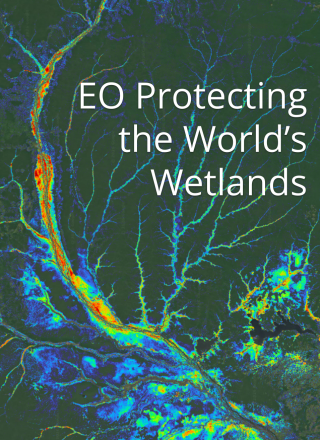
The Japan Aerospace Exploration Agency (JAXA) and the Ramsar Convention on Wetlands recently signed an agreement which will improve the dissemination and democratisation of Earth observation (EO) satellite data for wetland protection. The agreement was made under a Memorandum of Understanding at a special ceremony alongside the Ramsar Convention on Wetlands’ 29th meeting of the […]
Discover the latest CEOS activities, priorities and opportunities. Didn’t receive it in your inbox? Subscribe to make sure you don’t miss future editions. https://ceos-quarterly-revisit.beehiiv.com/p/ceos-communications-q3-2026-revisit
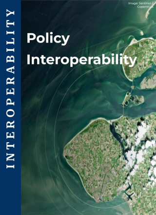
As the number and variety of Earth observation (EO) platforms and data providers continue to expand, seamless data and service integration across these organisations is an important requirement. The CEOS Interoperability Handbook sets out a clear framework for addressing this challenge, focusing on five key factors: Vocabulary, Architecture, Quality, Interface, and Policy. Together, these factors […]
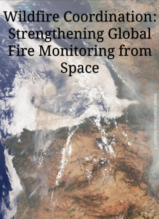
Wildfires are an essential natural process, but they are also a growing global challenge threatening ecosystems, communities, infrastructure and local economies. Earth observation (EO) satellites provide critical information for both science and applications across the fire management cycle: supporting planning and preparedness before fires occur, monitoring and response during fire events, and post-fire assessment and […]
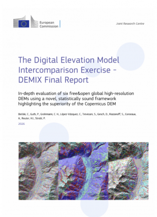
Global digital elevation models (DEMs) have become routine operational inputs across mapping, environmental monitoring, modelling and Earth-observation workflows. Their broad coverage and global availability have made them data that many practitioners simply take for granted. But knowledge of the terrain and topography of Earth’s surface is fundamental for monitoring and understanding terrestrial ecosystems and the […]
The CEOS Interoperability Handbook provides a shared framework for achieving interoperability across global Earth observation (EO) systems. It describes five core factors of interoperability: Vocabulary, Architecture, Quality, Interface and Policy, which together enable the discovery, access, visualisation, and processing of data from multiple sources. Within this framework, the Interface factor serves as the practical execution […]
The validation of satellite-based land products relies heavily on in-situ or fiducial reference measurements (FRMs) collected over an ensemble of globally representative sites, providing consistent, high quality and traceable reference data. These sites must ensure adequate representation of different land cover and ecoclimatic conditions to enable unbiased satellite data validation at global scale. Evolving validation […]